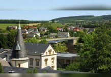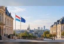

Luxembourg, one of Europe’s smallest nations, covers just 2,586 square kilometres and is entirely landlocked, surrounded by Germany, France and Belgium. The country’s landscape is a patchwork of thick green forests, rolling hills and low mountains that give it a distinctly rural character.
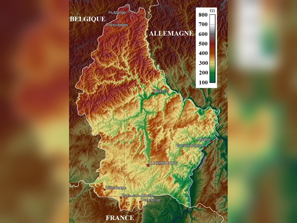
The map of Luxembourg reveals its division into two contrasting regions. The northern Oesling is a ridged plateau with poor soil that remains largely unproductive, while the southern Gutland boasts fertile soil and nourishing rivers that support a more intensive agricultural economy. The highest point in the country, Burgplatz, rises to 1,843 feet (559 m), and the lowest point lies at the confluence of the Sauer and Moselle rivers in Wasserbillig, 129.9 m above sea level.
A network of rivers criss‑crosses the nation, including the Alzette, Eisch, Moselle, Our and Sure, with the largest lake being Haute Sure. Luxembourg is divided into 12 cantons and 102 communes, of which 12 hold city status. The capital, Luxembourg‑City, sits at the confluence of the Alzette and Petrusse rivers and serves as the cultural heart of the country as well as one of the four official EU capitals.
These geographic features have shaped Luxembourg’s history, culture and economy. The contrast between the rugged north and the fertile south is a defining element of the country’s identity, and the map provides a clear visual of how natural landscapes influence human settlement and activity.