
More than half of Luxembourg’s land area was protected in 2021, according to Eurostat figures reported by Research Luxembourg. At 52%, its share was the highest among European Union member states in that comparison, ahead of Bulgaria and Slovenia at 41% each.
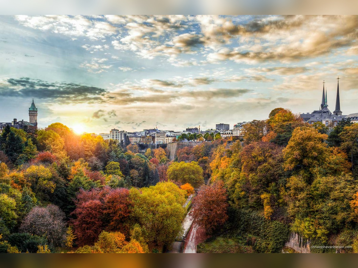
The date matters: this is a historical snapshot, rather than a statement of today’s ranking. But the landscapes described alongside those figures offer an enduring introduction to the country’s natural variety.
The German-Luxembourg Nature Park stretches across both sides of the River Our. Research Luxembourg describes it as the first European cross-border nature reserve, covering approximately 800 square kilometres and featuring more than 170 kilometres of hiking trails. Its geography places a shared landscape on both sides of a national border.
In the Luxembourg Ardennes, the Our region is characterised by broad plateaus and narrow rocky valleys threaded by the Our and Clerve rivers. The account also connects this landscape with cultural destinations, including the photography exhibition at Clervaux Castle.
The Upper Sûre lake adds another dimension. Research Luxembourg gives its area as 380 hectares and describes its roles in drinking-water supply and water sports. It is a landscape where recreation and an essential public resource meet.
Elsewhere, the Minett Biosphere Reserve represents a different environmental story: a former industrial area undergoing regeneration in southern Luxembourg. The Mullerthal Geopark, meanwhile, received UNESCO Global Geopark status in 2022.
Together, these examples show why Luxembourg’s protected landscapes cannot be reduced to a single image. They encompass river valleys, a reservoir, geological heritage and land shaped by industry—distinct settings within a country of 2,586 square kilometres.